
IMD Issues Red Alert For North Coastal Andhra As Telangana Braces For Heavy Rainfall
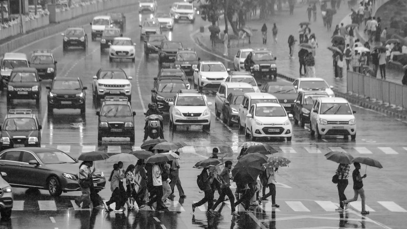
The southwest monsoon has arrived with intent across both Telangana and Andhra Pradesh , and the India Meteorological Department (IMD) is leaving no room for complacency. As June 28 dawns, residents across dozens of districts in both states are being urged to stay alert, stay indoors during lightning, and follow official advisories closely, because the skies have a great deal planned for Sunday.
The IMD has forecast widespread rainfall across Telangana over the next seven days, with heavy rain, thunderstorms, lightning, and gusty winds expected to affect several districts until July 3 . On June 28 specifically, heavy rain is expected in Hyderabad , Rangareddy , Medchal-Malkajgiri , Vikarabad , Sangareddy , Medak , Kamareddy , Mahabubnagar , Nagarkurnool , and several northern and eastern districts. Thunderstorms accompanied by lightning and gusty winds are likely across all districts of Telangana through the day.
Moderate rainfall is expected in the remaining districts, including Adilabad , Karimnagar , and Warangal . Heavy rains are forecast to continue until June 29 for the districts of Rajanna Sircilla , Karimnagar , Adilabad , Nirmal , Nizamabad , Jagtial , Peddapalli , Khammam , Nalgonda , and Suryapet .
For June 29 and June 30, isolated heavy rainfall is expected to continue, mainly over northern, eastern, and central districts, including Adilabad , Komaram Bheem Asifabad , Mancherial , Karimnagar , Rajanna Sircilla , Jagtial , Mulugu , Bhadradri Kothagudem , Khammam , and Mahabubabad . From July 1 to July 3, heavy rainfall at isolated places is expected across the state, accompanied by thunderstorms, lightning, and gusty winds of 30 to 40 kmph .
Meteorologically, the trigger for Telangana's sustained wet spell is an upper air cyclonic circulation over north Telangana and its neighbourhood between 1.5 and 5.8 km above mean sea level, tilting southwards with height. A trough from Coastal Andhra Pradesh to Madhya Maharashtra running across this cyclonic circulation persists between 3.1 and 4.5 km above mean sea level, keeping the moisture pipeline firmly active over both states.
The IMD Amaravati Centre has issued a Red Alert for several North Coastal Andhra Pradesh districts, forecasting very heavy to extremely heavy rainfall at isolated places. The districts of Visakhapatnam , Alluri Sitarama Raju , Anakapalle , Kakinada , East Godavari , Dr BR Ambedkar Konaseema , Eluru , West Godavari , NTR , and Guntur are likely to experience extremely heavy rainfall on June 28.
An Orange Alert has been issued for Srikakulam , Parvathipuram Manyam , Vizianagaram , Krishna , Palnadu , Bapatla , Prakasam , and Nandyal districts, where heavy to very heavy rainfall is expected at one or two places. A Yellow Alert covers SPSR Nellore , Kurnool , Anantapur , YSR Kadapa , Tirupati , and Chittoor districts, where isolated heavy rainfall is likely.
The Amaravati Meteorological Centre has issued lightning warnings for several districts, predicting rains accompanied by lightning in North Andhra , Konaseema , and Nellore . Rainfall is also expected in the Godavari and Krishna districts through the day. Coastal Andhra Pradesh is further expected to see isolated thunderstorms, lightning, and gusty winds reaching 40 to 50 kmph , gusting up to 60 kmph , continuing through June 30. Rayalaseema is also forecast to receive isolated heavy rainfall from June 28 through July 2, accompanied by similar thunderstorm activity.
In Visakhapatnam , Sunday is forecast to see temperatures around 31°C with humidity at 70% and patchy to moderate rain throughout the day. Residents in coastal districts are specifically advised to avoid unnecessary travel, stay away from waterlogged roads, and exercise extreme caution near the seafront, rivers, and low-lying areas given the Red Alert designation.